About Us
Queensland’s most successful land development, infrastructure and resources projects reflect Saunders Havill Group Know How.
Saunders Havill Group has been providing consultancy services in Queensland since 1975. Our offices provide advice on surveying, town planning, urban design, mapping, landscape architecture and environmental management for infrastructure, mining, land use planning and new developments.
We have extensive experience and the know how to deliver critical information, supporting projects of all scales in the resources, transportation and government sectors, as well as for new commercially responsive land developments.
Our culture is inclusive and proactive. Our team members work closely with our clients to ensure the information delivered is timely, responsive and addresses the long term goals of the project.
SHG. Know How.
Surveying
Our Surveying team work with clients to achieve the right approvals, registration and titles with a minimum of fuss. We are renowned for dependability, innovation, quality and professionalism and the ability to achieve and maintain tight deadlines.
Our services includes:
- cadastral and engineering surveys;
- land subdivision – small and large;
- building subdivision – small and large;
- building and standard format plans;
- layered and staged community title subdivision;
- volumetric survey and titling advice;
- lease surveys;
- property boundary surveys and disputes;
- long line electricity and pipeline easements and tenure;
- 3D visualization and spatial information; and
- building and civil construction control and setout.

Town Planning
Saunders Havill Group’s Town Planning team provide a full range of expert town planning services to both private and public sector clients throughout Queensland. We are consistently delivering high quality outcomes and results for our clients through our experienced staff, with an emphasis on technical knowledge, responsive service and high levels of professionalism. Through extensive professional networks we aim to build strong and lasting relationships with our clients and local government and state agencies.
Our extensive range of services includes:
- site identification and evaluation;
- due diligence assessment and reporting;
- planning applications and application management;
- master planning;
- planning scheme and other planning legislation reviews; and
- provision of expert witness evidence.
I sincerely would like to thank Saunders Havill in being instrumental in the successful Development Application achieved for my company. From concept to design to Development Approval your professionalism, knowledge and determination to get this $70m project approved, is testimony to why I respect and will always use Saunders Havill people and resources. Your loyalty to my company and its vision was second to none. - Rohan Woodforth, Director, RLW Contracting Pty Ltd
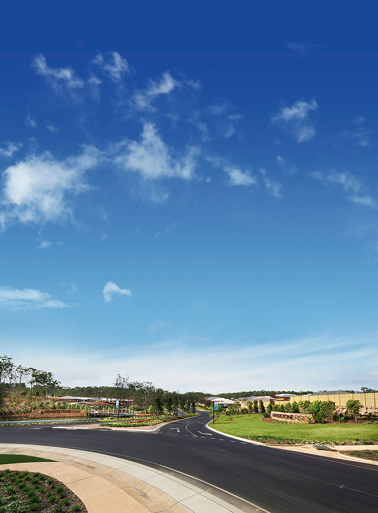
Urban Design
With expertise in surveying, town planning, environmental management and landscape architecture, we provide an urban design service that is well-informed and delivers high quality places for people to live, work and play.
We achieve this through:
- gaining a thorough understanding of our client’s expectations for a project;
- determining how those expectations are influenced by the relevant statutory controls;
- determining the physical characteristics of the site (constraints and opportunities);
- ensuring the design is functional and able to be serviced by cost-effective essential infrastructure; and
- balancing environmental, economic and social factors to achieve a balanced outcome to meet the needs of the client and government agencies.
Our urban design capabilities are focused on residential and industrial/commercial estate design, master planning.

Mapping

Our mapping capabilities have our client’s spatial needs covered. Our experienced staff find what’s fit for purpose, repeatable, and the best value solution that is time effective.
Our capabilities and resources include:
- LiDAR
- Terrestrial laser scanning
- UAV platforms
- Aerial photography (RGB/NDVI)
- Mapping/Photogrammetry
- Satellite imagery and data capture
- GIS consultancy and integration
- Historical spatial datasets
We utilise UAV technology to produce a wide range of surveying and other related products for our clientele. These include:
- Digital elevation & surface models
- Point clouds
- 3D model generation
- Orthophoto generation down to 1cm GSD
- Inspection and analysis using Colour and thermal cameras
- Fauna management
- Promotional imagery
We execute all projects with safety as a priority and follow CASA air law in place to perform all works. Our pilots are qualified to CASA standards holding RePL (remote pilot licence) certification and require type training per UAV operated. Our chief pilot Jamie Holyoak has logged over 300 hours of in air time over many platforms both fixed wing and multi rotor since 2014 both in Australia and internationally.
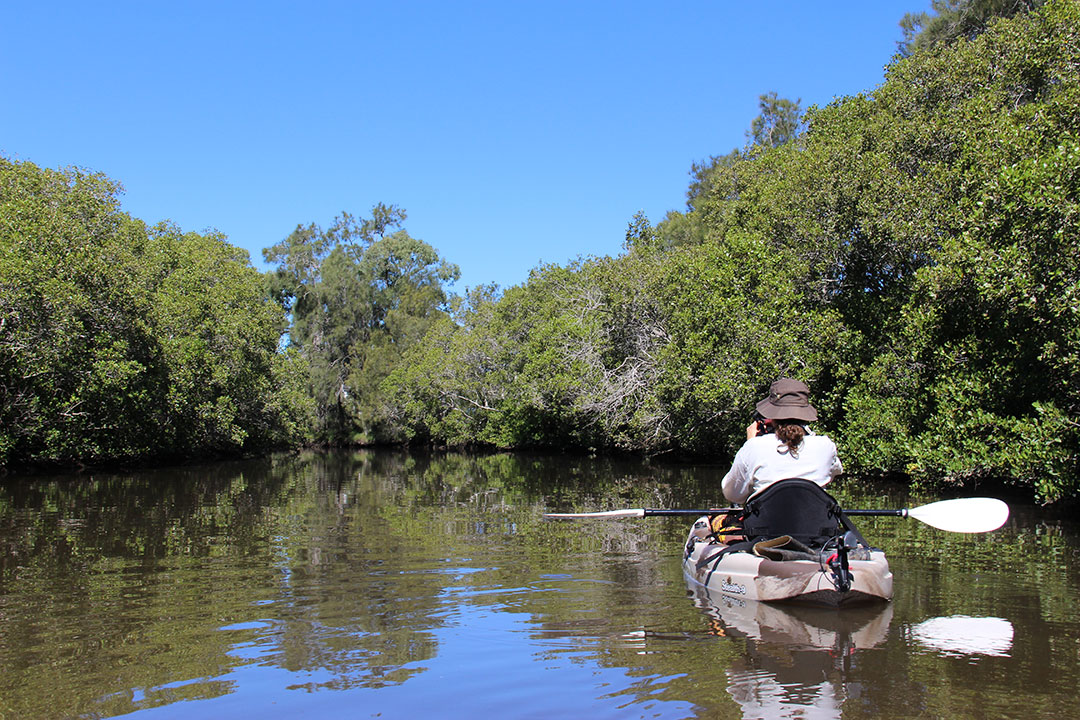
Environmental Management
Our Environmental Management team maintain an enviable position at the industry forefront based on their collective knowledge and extensive expertise.
The team apply relevant and contemporary skill advancement and legislative agility to manage for their clients specialist aspects of development in environmentally sensitive areas. Put simply, our Environmental Management is well equipped to achieve the best outcome for all stakeholders where and when environmental matters are a concern.
Our range of expertise includes:
- offset interpretation and negotiation at all Government levels;
- Commonwealth Government referrals, approvals and compliance;
- Priority Development Area Natural Environment Site Strategies and compliance;
- State Development Assessment Provision responses;
- Ecological Assessments and Reporting;
- detailed fauna and flora surveys;
- Koala Assessable Development Area responses;
- Property Maps of Assessable Vegetation;
- Property Vegetation Management Plans;
- Vegetation Clearing and Management Plans;
- Fauna Management Plans;
- Offset Management Plans;
- Environmental Management Plans;
- coastal and waterway development approval requirements;
- fauna crossing strategies and wildlife movement solutions; and
- environmental auditing.
Landscape Architecture
SHG’s Landscape Architecture team offers a comprehensive range of services across a wide range of project types. Our professional and multi-skilled landscape staff work to ensure effective and on-time service delivery along the entire path of a project. Our clients are kept informed of the progress of their project, ensuring clear understanding of progression to achieve desired results.
Our in-depth understanding of Local and State Government process and policy, coupled with clear communication and a real commitment to our client’s projects provides the best possible results for designs that are well documented and soundly constructed. Our team have a proven track record in achieving successful Development and Operational Works approvals.
Our clients appreciate the friendly, dedicated approach we provide and all of our team work in a professional and effective manner to achieve the best possible outcomes.
Our range of services include:
- concept design plans
- statements of landscape intent for development approval
- open space management plans
- landscape master plans for presentation and marketing
- detailed landscape design for operational works approval
- specification and management of construction
- project opinion of costs and tendering
- contract documentation and supervision
- as constructed detailed landscape plans
- landscape maintenance and management advice
- site analysis and constraint mapping
- visual analysis (for industry, infrastructure, residential, commercial)